In this post and the next I’ll share two worldviews that, as usual, involve environmental edges and journeys. But those spatial, cartographic aspects (my typical focus) are of comparable importance to what I consider the more “painterly” goal of capturing scenery itself, independent of contrasts between scenes—something that I usually approach like an afterthought. The shift in emphasis came from the special connection I felt to the vegetation of the region that inspired both works—a connection that was aesthetic but also influenced by knowledge of the area’s biological significance.
Southwestern Australia—the region around Perth—has a generally Mediterranean climate; its temperature and precipitation levels, and range of landscapes from scrubland to dry forest depending on more localized conditions, resemble southern California, South Africa’s Cape Province, central Chile, and the Mediterranean Basin. Like all of those regions this one has been identified as a “biodiversity hotspot” given its high levels of diversity and endemism combined with its vulnerability to human threats. (The moderate climates of these zones have historically made them particularly attractive to settlement and exploitation.)
Stirling Range National Park.
Grass trees (Xanthorrhea sp.), John Forrest National Park.
The variety of colors and textures in the vegetation gives you a sense of the area’s species richness. There’s also a number of particularly eye-catching native plant species including banksias, cycads, and two genera that on the surface look like they must be closely related but in fact aren’t, Xanthorrhea (grass trees) and Kingia. Those last two (like most palm look-alikes) are particular favorites of mine, and so I featured them prominently in the following work and even more so in the one I’ll talk about next time.
Banksias, Mt. Martin Botanic Park.
Cycads, John Forrest National Park.
A branching Xanthorrhea, John Forrest National Park.
And another one in flower nearby.
Kingia australis, the only member of its genus and only found in this part of Australia. Unlike Xanthorrhea it never branches. (This shot is part of my acclaimed plant-selfie genre :-D )
Kingia is also distinguishable from Xanthorrhea by its radially-arranged flower clusters..
The evocative plant life, combined with the awareness that there isn’t much of it left intact, made the landscape feel special and precious. Though my standard fracturing method in these two worldviews wasn’t so much about squeezing landscape contrasts into a more digestible scale, I did intend for it to create a sense of delicacy and vulnerability—part of the “protective impulse” that also motivates me to depict these places.
Stirling Range National Park, located about an hour inland from the coastal town of Albany, protects a particularly rich assemblage of plant species—more than the entire British Isles within its 448 sq. mi. The park incorporates the Range itself, rising to about 3600 ft., and otherwise gently rolling topography. Bluff Knoll, the highest peak, is climbable within a few hours, and that hike (images below) is the subject of the worldview that I’ll share here. Despite the elevation change there wasn’t a noticeable ecological gradient from base to summit that would suggest higher rainfall or cooler temperatures; instead the vegetation became lower and sparser toward the peak as the landscape became steeper and rockier. It was absolutely a rewarding hike in terms of the changing views and topography, but again what stood out to me most was the overall richness of the plant life.
View from the summit.
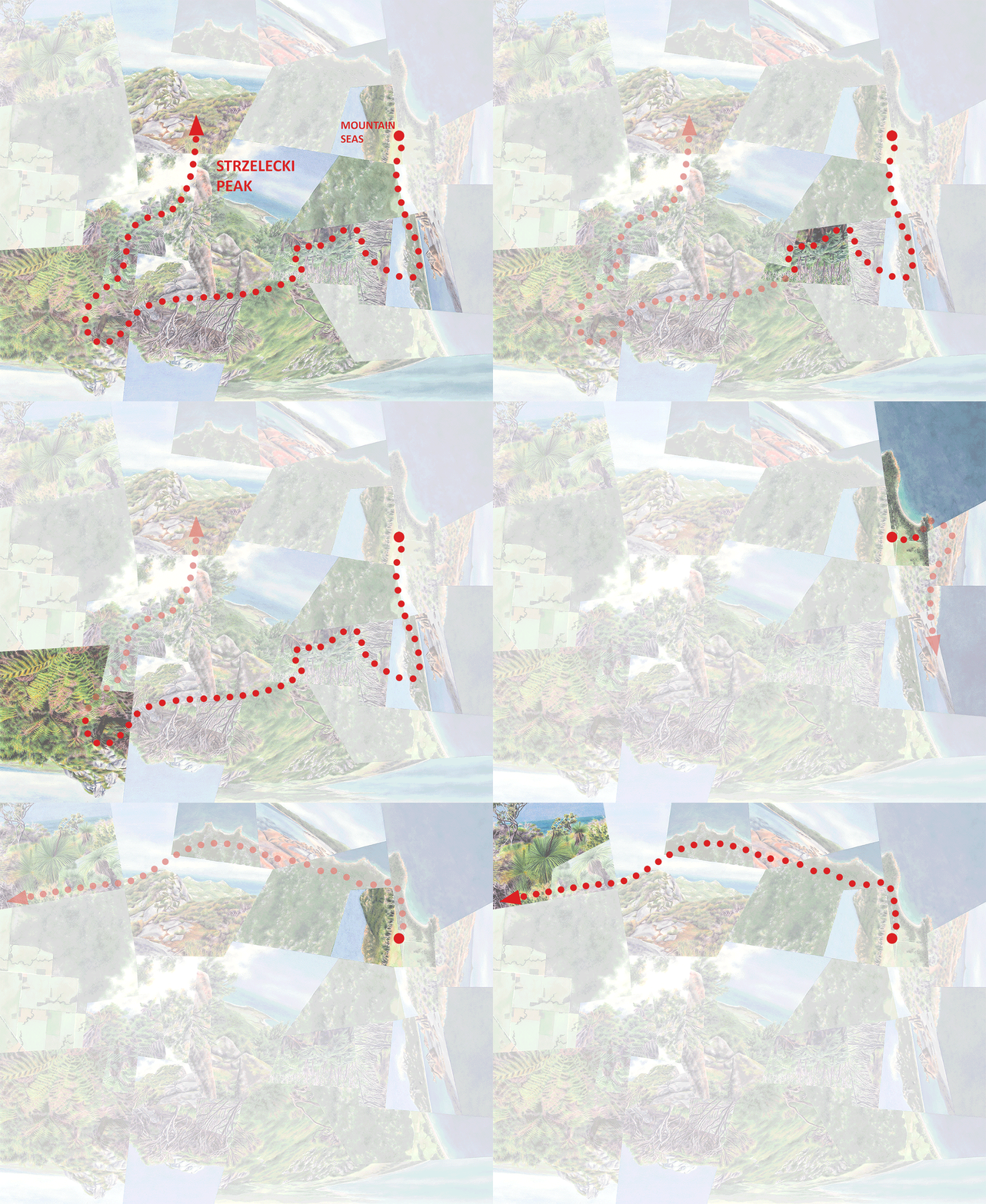
Bluff, watercolor on paper, 48”x36.” Bluff Knoll itself fills the top half of the composition. In most of my works the shapes of the fragments develop organically in the process of fitting the scenes together, but when possible I try to design the overall pattern to respond to some general quality of the place. In this case it was the fracturing patterns of the geology.
Bluff, detail.
The journey to the top of Bluff Knoll, animated.
Sadly in 2019, two years after my visit, a wildfire destroyed much of the park, impacting about one-third of it. Bluff Knoll itself seems to have escaped the worst, but the most devastated areas aren’t expected to ever fully recover. (And this will keep happening of course, there and in so many other places. As we all know, fires are another major threat to this particular biome.) And even the striking flora I saw when I was there wasn’t at its best—the invasive fungus Phytophthora has been causing dieback in about half of the region’s native species. Before-and-after photos make the decrease in cover and diversity obvious, but it says a lot for the riches of this hotspot that otherwise I wouldn’t have guessed it.
In the next post, another nearby gem—not yet turned to charcoal as far as I know….
Darren


