In my previous post I described a particularly dramatic wet-dry gradient—along a roughly six-hour hike from cloud forest to desert on Robinson Crusoe Island off the coast of Chile. At the beginning of that same 2019 South America trip I visited what might be considered an even more striking example, in the Lomas de Lachay Reserve a few hours north of Lima, Peru.
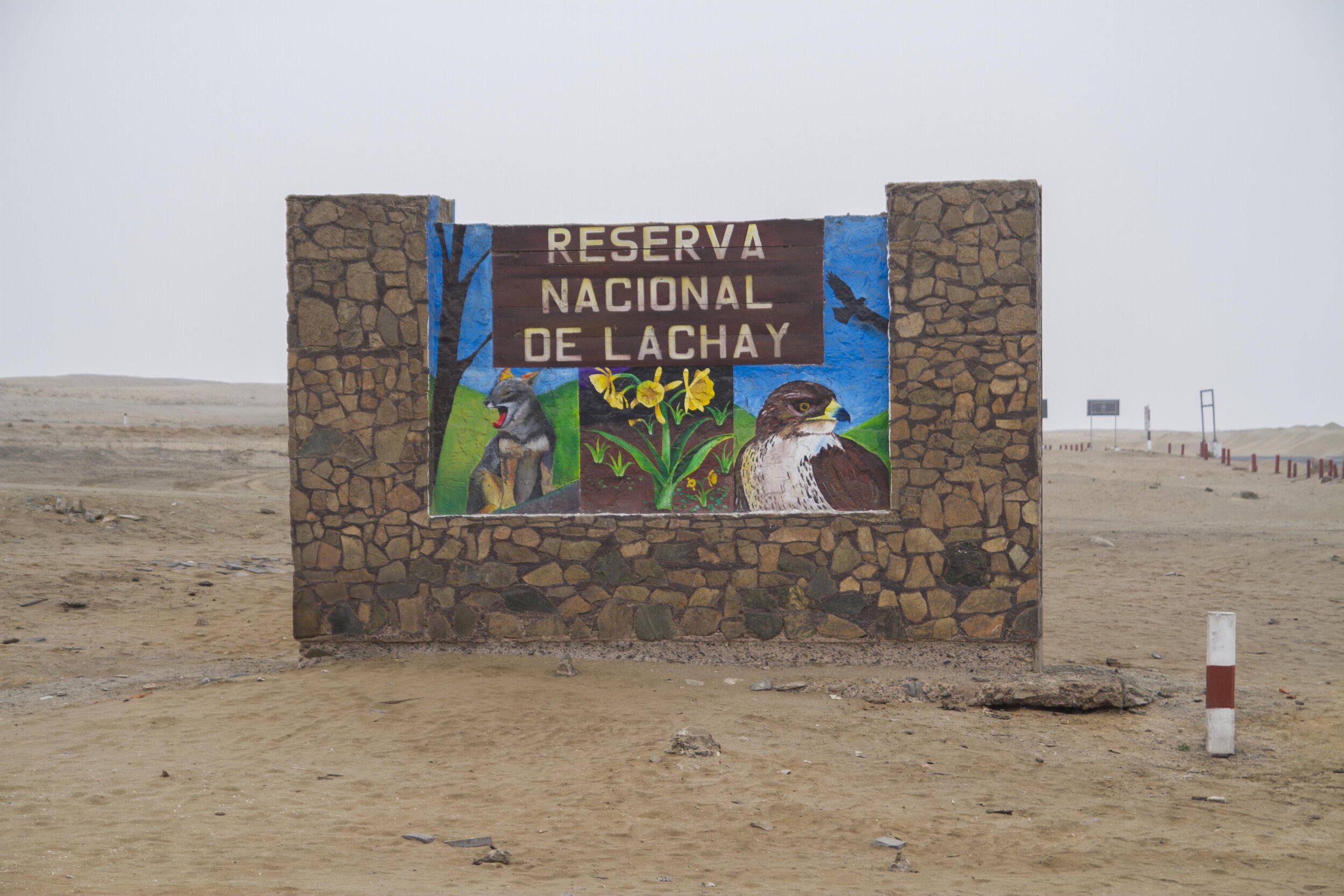
The Lomas de Lachay Reserve entrance at the Panamerican Highway, about 100m above sea level.
The heart of the Reserve and oasis at about 400m.
A Google Maps view of the Reserve during the non-fog season, with the main path highlighted (the straight part is the gravel entry road). The fog is heavily seasonal, generally present from June to October; during the rest of the year the entire landscape turns brown, here still visible as darker than the surrounding desert. Actually I had visited this site before, back in 2001, during the dry season and had vowed to return someday during the “right” time of year. I surprised myself a bit by actually following through on that twenty years later. But as you’ll see below, I sort of missed the mark again by getting there in late October at the very tail end of the wet season when the landscape was not at its most vibrant.
Lomas literally means “hills,” but it also refers to a particular environmental condition that I’d consider one of the ecological wonders of the world despite its obscurity: along the nearly rainless coasts of Peru and northern Chile, the foothills of the Andes intersect the coastal fog layer to create lush islands of green surrounded by barren desert. These oases, sometimes called “fog meadows,” are very scattered and restricted, having to do as much with the shape of the topography (trapping the fog more effectively in certain areas) as with elevation.
Lachay is considered one of the best examples of these; the fog creates a gradient from barren desert through grassland, culminating in a sort of wet savanna dotted with lichen-draped trees. While it can’t be called a forest, large shrubs are mostly absent, and those trees are oddly skeletal (I haven’t read anything suggesting that they’ve died, but I saw no evidence of leaves), the contrast between beige and florescent green is still surreal. (For some reason the ecological effects of the fog seem much stronger in Peru than Chile; to the south the lomas are characterized more by profusions of cacti than by continuous carpets of green.)
The walk from the highway to the center of the oasis (where the loop begins) takes about an hour and half, climbing roughly 300m, with an additional hour or so to reach the ridgeline 80m above and then loop back around.
At the Reserve entrance, on the Panamerican highway, the landscape is completely devoid of visible plant life.
Entering the reserve, groundcover-like plants (a couple centimeters high) appear after just a few meters of elevation gain. During the height of the fog season, when the moisture spreads consistently over a larger area, this zone would be green.
The groundcover gradually transitions to taller grasses and herbs…
…that become denser and greener.
Seen looking back downhill, the gradient is particularly striking given the gentleness of the slope.
At the center of the oasis the trees appear; a month or so earlier this landscape would’ve been even greener. The ivy-like species, climbing the bases of the trees and covering much of the ground, I suspect is exotic, though I couldn’t find out for sure. About half of the reserve’s plant species are non-native, the result of past grazing activity plus some unenlightened land management practices.
The trail up to the ridgeline, increasingly rugged, passes by clusters of bromeliads.
Approaching the ridgeline the vegetation dries out again, probably because this late in the season the fog isn’t as concentrated as in the valleys lower down (to the right).
On the north side of the ridge (to the left in the ridgeline photo above) the landscape becomes even drier with every meter of descent, with barren desert again farther below and in the distance. Cacti appear on the upper slopes where the fog spills over the ridgeline to some degree.
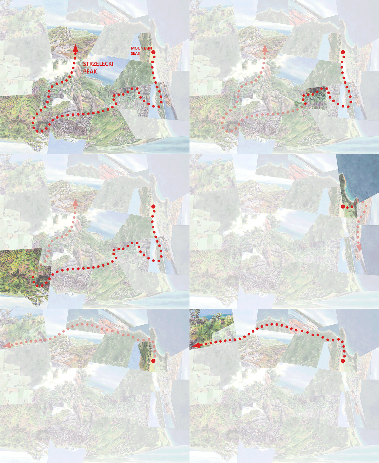
Fog Meadows (watercolor on paper, 36”x48”) captures my experience of walking this route through the Reserve.
The journey, animated. As in my other works depicting distinct routes of travel, you can see that the path (in red) is a greatly distorted version of the real thing (in yellow above), shaped by compositional considerations as well as the relative “experiential weight” of the different segments.
There was an advantage to visiting the Reserve when the extent of green was more limited (reduced to small pockets) than it would’ve been at the height of the fog season: smaller “islands” tend to mean more accessible edges, in this case above the oasis as well as below. But the photograph below—on display in the visitor center—shot from the same ridgeline as my photo above but fully green during the foggiest part of the year, makes me want to go back yet a third time to experience that even sharper wet-dry contrast. Given current events I’m still going to take my time planning another international trip, but since climate change will certainly disrupt the finely-tuned fog patterns there, I know I shouldn’t wait too long.
Darren


